Another beautiful day greeted us this morning. Our plans for the day included visiting Chiricahua National Monument and Tombstone.
 |
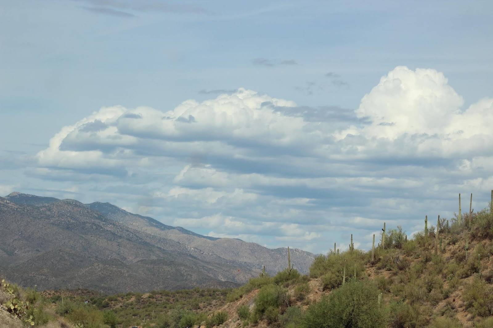
| The drive to Chiricahua National Monument was beautiful. |
 |
| These are the Chiricahua Mountains where the Apache Tribe lived with their leaders Geronimo and Chochise. In 1886 after years of defending these mountains from the army and and the overwhelming tide of emigrants and miners, the Apaches surrendered and were relocated. |
 |
| In 1888 Swedish immigrants Neil and Emma Erickson settled in the Bonita Valley in these mountains. They called their ranch Faraway Ranch and had three children. The last child, daughter Lillian lived in this house until 1975 and the land and house and its contents were sold to the National Park Service. In 1888 only a small log cabin occupied this spot, but over the years, that cabin was enlarged to this current home. |
 |
| I think this window is beautiful. |
 |
| This picture and following are from the Monument. The Erickson's were instrumental in getting the government to set aside this land as a park. They called it Wonderland of Rocks. |
 |
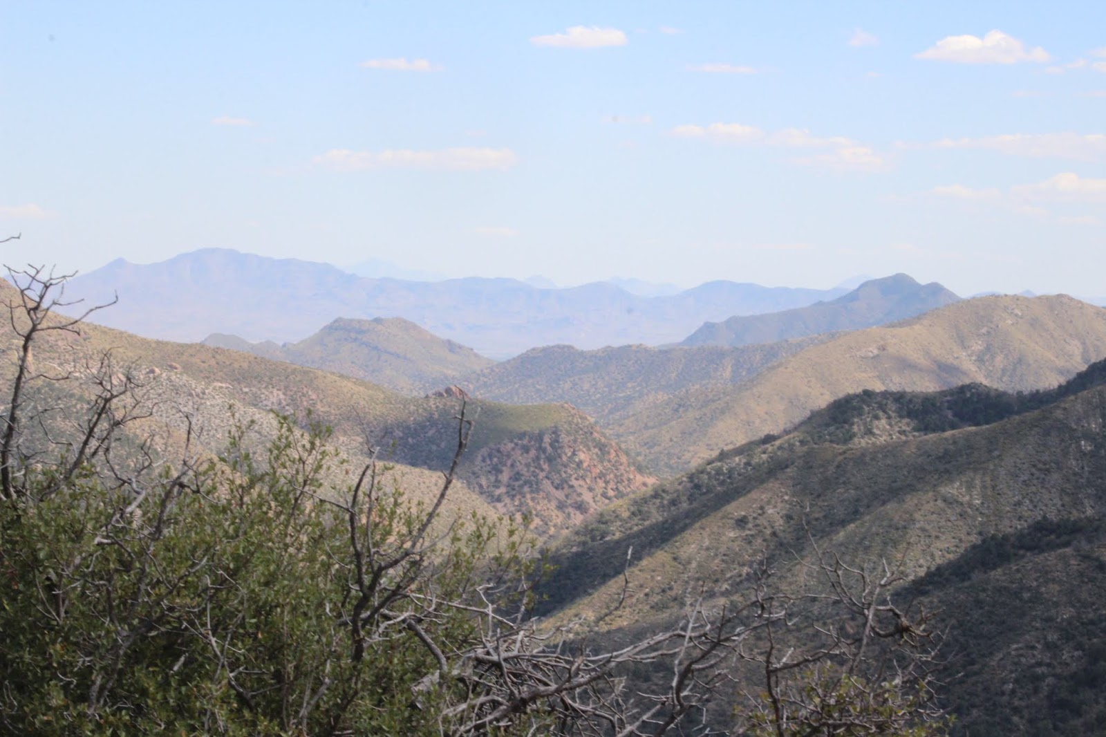
| We spent about three hours at the park. This was taken on the road as we were driving to Bisbee. |
 |
| We drove from the Monument to within one mile of the U.S. and Mexican border. This is a picture of the mountains in Mexico. We saw two more check points, one we did not go through and the other we did. |
 |
| This was taken at Bisbee. |
 |
| This is the Lavender Pit copper mine. Open-pit mining at Bisbee in 1917 and ended in 1974. This pit is 4,000 feet wide, 5,000 feet long and 850 feet deep. |
 |
| From Bisbee we drove to Tombstone. This is the view from the road. |
 |
| This is the main street of Tombstone. It contains the original buildings from the 1880's but now they are occupied by shops geared toward the tourist shopper. Two or three times a day the "Gunfight at the OK Corral" is reenacted. We missed that reenacted. On the way into town we were passed by a car with the license plate of "W Earp." As we were walking the street we saw a man in black western attire and thought he must play the part of Wyatt Earp. |
 |
| Tombstone Court House which is a State Historic Site. |
 |
| A final sunset in this part of Arizona. Tomorrow we head north to Flagstaff. We hope to be up early and on the road to avoid the forecasted rains and winds from Hurricane Rosa. We hope this is one time the weather casters are wrong. |
 |
| We have especially enjoyed driving the back roads off the interstate. Today we saw fields of corn, cotton, and orchards of what we think were pistachios and pecans. Past vacations in this part of Arizona we drove the interstate to the parks we wanted to visit and never experienced the land away from the interstate. |